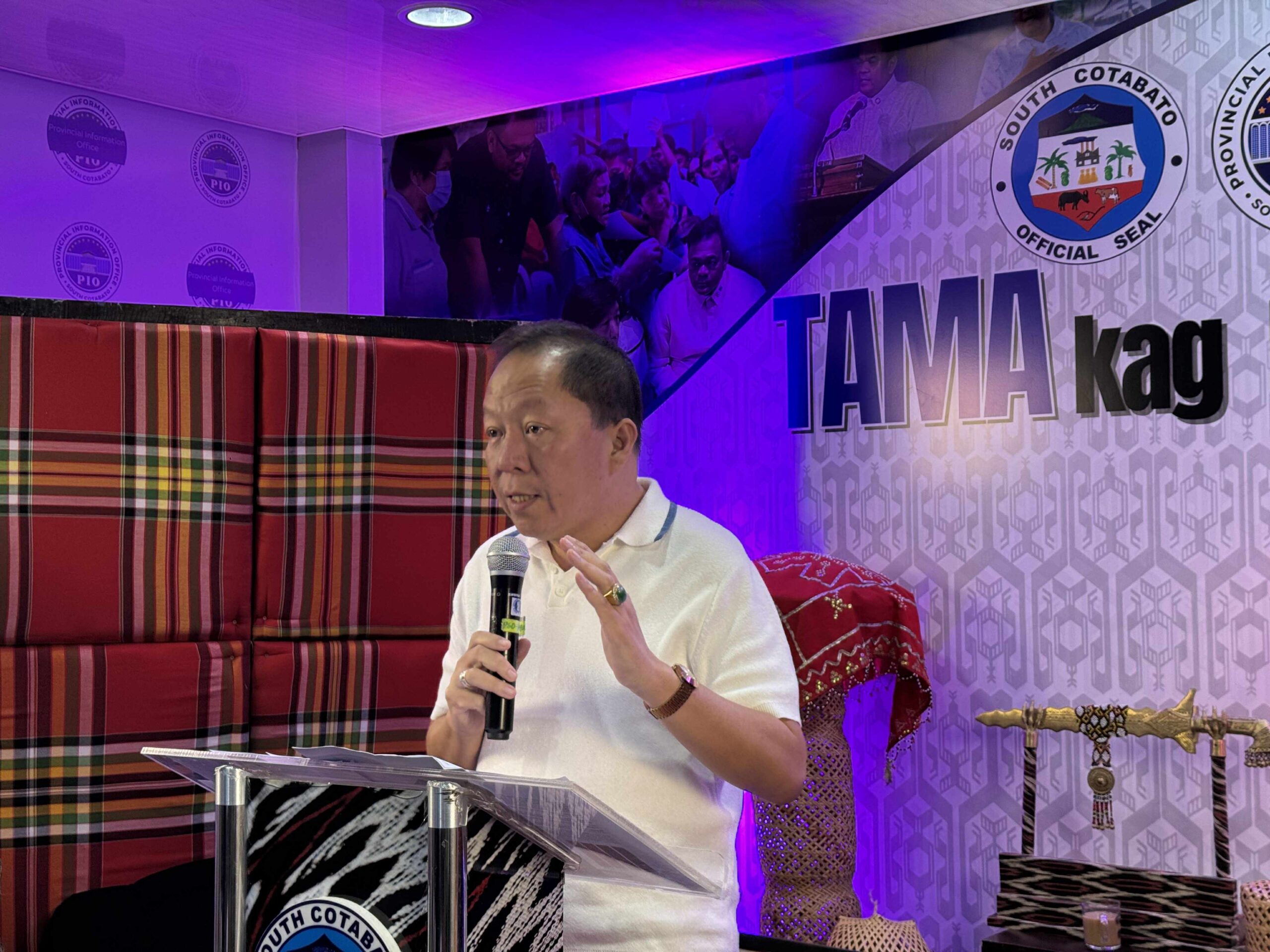
South Cotabato, Philippines — In line with the recent heavy rains and the need for disaster preparedness, Governor Reynaldo S. Tamayo Jr. assured the public that the province is well-prepared to respond to any natural calamity.
Governor Tamayo reconfirmed that all local government units in South Cotabato have already established the hazard maps.
These maps identify areas vulnerable to natural disasters such as floods, landslides, earthquakes, and volcanic eruptions.
“Established na lahat ng hazard maps ng lahat ng local government units sa South Cotabato—flood, landslide, earthquake, and volcanic eruption,” Governor Tamayo said.
With the hazard maps in place, the most at-risk communities have been identified and prioritized.
The provincial government has also ensured that each local government unit is equipped with pre-positioned relief goods.
“Kaya every time magkakaroon ng kalamidad, naka packaged na agad iyan at kumpleto na ‘yang dinadala doon sa evacuation centers or calamity victims,” Governor Tamayo stated.
Governor Tamayo explained that in times of calamity, the initial response comes from the municipalities, but the provincial government is ready to step in when local resources are insufficient.
“Kapag hindi nakakapagbigay ng madaliang aksyon ang municipalities, provincial government talaga agad nag a-augment kasi kailangan natin ma-address kaagad yung needs ng mga victim,” he clarified.
In addition to immediate relief efforts, Governor Tamayo reiterated his commitment to long-term support for disaster victims by initiating a housing plan for informal settlers and families victims of calamities.
In evacuation areas, Governor Tamayo assured residents that we have more than enough evacuation centers established across the province to provide shelters during emergencies.
As climate-related threats continue to rise, South Cotabato’s preparedness efforts reflect the province’s commitment to disaster resilience and public safety.